
Spring Hill · Johnson & Miami counties, Kansas
Hail Damage Repair in Spring Hill, Kansas
Paintless dent repair for vehicles dented by the April storms across Johnson and Miami counties. Our crew is working in the Spring Hill area now.
Monday to Friday, 9am to 7pm. Saturday until 3pm. Prefer to type? Text us.
Spring Hill: Hail Dents? We Can Arrange a Loaner
Hail dents on your vehicle, and you still need to get to work?
Ask us about a loaner while your car is with us. Our crew is working in the Spring Hill area, and the inspection is free, at your vehicle, about 30 minutes, with no obligation.
The reason to move now is where the crew is, not the weather.
The most common reason people give for putting off hail repair is that another storm could dent the car again. It is a fair thought, and hail in Kansas is concentrated in spring and early summer, so the months right after a storm are the quiet stretch.
Our crew is in the Spring Hill area now, which is the part that actually decides whether your car gets looked at. When we move to the next market, the inspection moves with us.
Dents do not settle out on their own. The only thing that changes while you wait is how long you have been driving a dented car.
What golf ball hail does to a car
The weather service describes hail by everyday objects because it is the fastest way to picture the impact. On the NOAA size chart, 1.75 inches is a golf ball, 2.50 inches is a tennis ball, and 2.75 inches is a baseball.
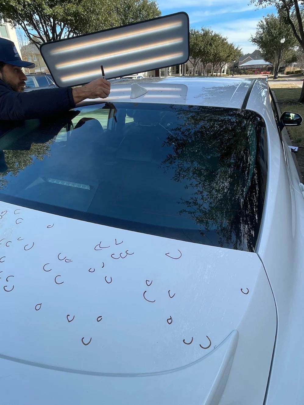
Hail that size lands hardest on the flat, horizontal panels: hood, roof, trunk lid. Most owners do not see the full extent in daylight. It shows up under a low, raking light, which is why the inspection happens in person and not over photos.
Paintless dent repair works the metal back from behind the panel. When a panel qualifies for it, the factory paint is never touched.
What 4 inch hail actually looks like
Drawn against the other sizes the weather service uses. The largest stone reported around Spring Hill is marked.
- Quarter1 inch
- Golf ball1.75 inches
- Tennis ball2.5 inches
- Baseball2.75 inches
- Softball4 inchesLargest here
Where hail lands on a car
Hail falls close to vertical, so it collects on the flat panels and mostly misses the doors and the sides. Those three panels are where the damage count is decided.
You do three things. We do the rest.
Tell us where the car is
Booking takes about a minute.
Let us look at it in person, under proper light
The inspection is free and there is no obligation afterwards.
Decide
You will know exactly what we found before anything happens to your vehicle.
Why we look at the car ourselves
Hail damage does not photograph reliably. A phone photo flattens the panel and hides dents that are plain to see in person, and an estimate built on that photo can miss them. We come to the vehicle, we look at it under light, and we tell you what is actually there.
Rated 5.0 on Google
Every one of them was written by somebody who was exactly where you are right now, deciding who to trust with their car.
“They’ve repaired two of my vehicles at the same time. They worked closely with the insurance and took their time to make sure my vehicles looked as good as new. Once my vehicles were in their care they took care of everything. It was a very smooth and worthwhile process.”
Charlotte KirvenGoogle review
“Since the first day they took my truck it was a smooth transaction. For some reason my insurance couldn’t get me a rental truck for the first 2 days, guess what? They gave one of theirs for free so that I can take care of my work. Cesar himself brought it to me.”
Luis UrdanetaGoogle review

What the National Weather Service recorded near Spring Hill
These are public severe weather reports filed with the NOAA Storm Prediction Center. We did not write them and none of them is a claim about our work. They are here so you can find the day your car was hit. April 15 hit Miami County, around Osawatomie and Paola. April 27 hit Johnson County, near Shawnee and Olathe. The August 19 reports are from Wyandotte County, farther north.
Show all 11 reportsApril 15 · April 27 · August 19
Eleven reports around Spring Hill
Every hail report the National Weather Service logged around Spring Hill, in the order they came in, with each stone drawn to the size they recorded.
- Apr 15, 4:32 PM2.50 inOsawatomie, Miami County
- Apr 15, 4:37 PM2.75 in4 mi NNE of Osawatomie
- Apr 15, 4:39 PM3.00 in1 mi SE of Paola
- Apr 15, 4:40 PM4.00 inPaola, Miami County
- Apr 15, 4:40 PM2.50 in1 mi WSW of Paola
- Apr 15, 4:44 PM1.75 in1 mi N of Paola
- Apr 27, 5:46 AM1.75 in4 mi SW of Shawnee, Johnson County
- Apr 27, 5:47 AM1.75 in2 mi SW of Olathe, Johnson County
- Aug 19, 1:15 AM1.50 in2 mi NNW of Piper, Wyandotte County
- Aug 19, 1:19 AM1.75 inPiper, Wyandotte County
- Aug 19, 1:41 AM1.75 in1 mi NNE of Kansas City, Kansas
| Date and local time | Location | Hail size | Report text, or our note |
|---|---|---|---|
| Apr 15, 4:32 PM | Osawatomie, Miami County | 2.50 in | Several social media photos and videos of hail up to tennis ball size in Osawatomie. Multiple homes and vehicles were damaged... with many windows and windshields crack |
| Apr 15, 4:37 PM | 4 mi NNE of Osawatomie | 2.75 in | Photo from social media shows hail approximately baseball sized. Time estimated from radar. |
| Apr 15, 4:39 PM | 1 mi SE of Paola | 3.00 in | No remark was filed with this report. |
| Apr 15, 4:40 PM | Paola, Miami County | 4.00 in | Time estimated from radar.Our note: this is the largest hail size in the Kansas reports we reviewed for that day. |
| Apr 15, 4:40 PM | 1 mi WSW of Paola | 2.50 in | Measured 2.5 inch hail in downtown Paola. |
| Apr 15, 4:44 PM | 1 mi N of Paola | 1.75 in | Golf ball size hail at the Paola Golf Club. |
| Apr 27, 5:46 AM | 4 mi SW of Shawnee, Johnson County | 1.75 in | Spotter called in... reported hail between 3/4 and 1 3/4 between 5:42-5:46am... time confirmed |
| Apr 27, 5:47 AM | 2 mi SW of Olathe, Johnson County | 1.75 in | Report relayed from social media. Time estimated from radar. |
| Aug 19, 1:15 AM | 2 mi NNW of Piper, Wyandotte County | 1.50 in | Picture shared via social media shows wind shield damage from large hail. |
| Aug 19, 1:19 AM | Piper, Wyandotte County | 1.75 in | Picture shared via social media depicts several hail stones measured to be 1.75 inched. Time estimated via radar. |
| Aug 19, 1:41 AM | 1 mi NNE of Kansas City, Kansas | 1.75 in | Picture shared via social media shows a car with hail damage. Time estimated via radar. |
Wyandotte County was placed under a State of Kansas disaster emergency proclamation on August 21 for the August 18 to 19 storms, and that proclamation was extended through October 4. It is a state proclamation, and we mention it only because it shows how widely that night hit.
We handle the insurance side with you
Hail repair on a vehicle is handled through your auto insurance claim. That part is the same everywhere. What changes is who does the work of it.
-
You open the claim. We take it from there.
Only the policyholder can open a claim, and it takes one phone call. Once it is open, we document the damage, send the estimate, and coordinate with your adjuster directly. You are kept in the loop, not put to work.
-
If the first estimate misses damage, we file the supplement.
Hail damage is routinely under-counted on a first look. Documenting what was missed and submitting it for review is part of the job, not an extra.
-
A loaner while your car is with us.
We can arrange a vehicle so you are not left without one during the repair. Ask about it at the inspection and we will sort out the details for your situation.
-
You hear from us at every step.
Estimate sent. Approval received. Repair started. Ready for delivery. You will not have to chase anyone for an update.
“They handled everything with my insurance company, kept me updated throughout the process, and the quality of work was top-notch.”
Farhan Qamar, Google review
Questions about your specific claim or policy? Bring them to the inspection. Every policy is a little different, and that is a conversation about your car, not a paragraph on a website.
Where we are working from Spring Hill
Cranio Hail travels to where the storm hit and works out of partner shops. There is no walk-in location. We come to the vehicle.
Book the inspection while our crew is in the area.
Pick a time and tell us where the car is.
Or call (469) 966-6477. Monday to Friday 9am to 7pm, Saturday until 3pm.
Last updated: September 2026.